 |
| Rafe - ZZZZZZZ - Findhorn campsite |
I woke up early, sun shining through the tent, to the sound of Rafe snoring gently away, dreaming of chasing rabbits.
 |
| Rafe - morning sunshine at Findhorn campsite |
But as soon as I moved, he was awake and wanting out and off. So a quick walk down to the shore was in order.
 |
| Rafe by Findhorn Bay |
Breakfast in the sunshine set us up for the day and apart from a few bits to keep us going through the morning (and the emergency food of course) we polished off all our rations.
 |
| Rafe makes a brew - Findhorn campsite |
Tent down and all packed, we paid our dues to the campsite and set off northwards, along the road which runs beside Findhorn Bay, to the village.
 |
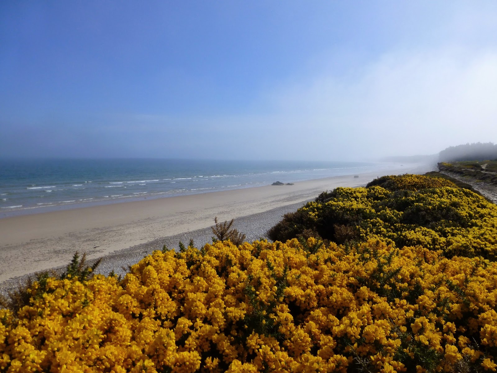
| Mist over Findhorn Bay |
Just along the coast was a thick layer of haar, gradually burning off in the warm sunshine.
 |
| Rafe in Findhorn village "Which way now ?" |
Findhorn village was quiet, not another person to be seen. We passed through quickly today, to turn east along the Moray Firth, towards home.
 |
| Rafe - dunes east of Findhorn |
The dunes were eerie in the mist. Rafe led the way, bounding from waymark to waymark through the sand and shingle.
 |
| Rafe - dunes near Findhorn |
 |
| Findhorn Foundation wind turbines |
We soon came out onto the shore, passing behind the Findhorn Foundation and the rear of Kinloss Barracks. Rafe was ready to take to the beach and loup into the sea (it was getting hot), but the sand dunes had been eroded into cliffs and the drop was too far for him to jump down (although he would have tried if allowed).
 |
| The back way in to Kinloss Barracks - by Burghead Bay |
As we passed the fences, gates and military paraphernalia of Kinloss Barracks I found myself whistling the theme tune to "The Great Escape"...
 |
| Eroded path by Kinloss Barracks |
The mist was burning off fast.
 |
| Burghead Bay by Kinloss |
 |
| Roseisle Forest and Burghead Bay |
As the coast path entered Roseisle Forest the sand cliffs started to slump and we ran down onto the beach, Rafe leaping straight into the sea.
 |
| Burghead Bay and Roseisle Forest |
 |
| Burghead Bay looking east |
 |
| Rafe - Burghead Bay |
Anti tank blocks and pill boxes line Burghead Bay, left over from World War II.
 |
| Burghead Bay looking east |
Roseisle Forest was also used as a training ground for the troops taking part in the D Day Landings.
 |
| Burghead Bay looking west |
 |
| Rafe - Burghead Bay |
It was warm walking, and Burghead seemed a long way off.
 |
| Burghead Bay, looking west |
But by lunchtime we were in Burghead and making the most of the local shop.
 |
| Looking east towards Hopeman from Burghead |
Once we had purchased the makings of an excellent picnic, we crossed the headland, anticipating the view of Hopeman and home.
What a change though, it was blowing in a strong easterly, cold and constant, whipping up white horses. Our leisurely final picnic was actually a hurried scran, making a move before we got too chilly.
A RIB came around the promontory from the harbour and into the wind. It bounced from wave to wave, spray coursing over those in the boat - looked fun - but I hope they were suitably dressed.
 |
| Burghead from the east |
The path between Burghead and Cummingston has recently been tarmacked (all access apparently), which meant for quick and easy walking and we made good time. Once out of the wind, away from the Burghead peninsula, it soon warmed up.
We were only a stones throw from home and the last couple of miles were completed with mixed feelings.
 |
| Coastline at Cummingston |
We were blessed with clear views on the last stretch, the Moray Coast is truly beautiful...
 |
| Hopeman Church and railway bridge |
Route: Findhorn Foundation campsite, N to Findhorn village, follow waymarked route (1st waymark at NJ037646) to Hopeman along Moray Coast Trail.
Statistics: Distance: 17.1km Ascent: 30m Time: 5 hours.
 |
| West Beach and Harbour, Hopeman |
Final Comments:
I really enjoyed my four days with Rafe and the tent. I was lucky with the weather and this made for an easy walk. The route was excellent for backpacking, a good surface for walking and very little ascent. I also had very little to do in the way of navigation. I will be a little more adventurous in both these departments when I go again. I was just getting into the swing of walking when I reached the end, I can see me walking further and for longer in future. I was relaxing into a good pace by the end, rather that the "must get there" attitude of days one and two.
Its always a learning curve. I loved it - when can I go again...?
Total Statistics: Distance: 95.6km Ascent: 480m


No comments:
Post a Comment