Saturday 31 May 2014

Canoe on Loch Maree

On a beautiful spring day, there's nothing better than a paddle around the islands of Loch Maree.

Slioch, over Loch Maree from Slatterdale

Setting off from Slatterdale, we headed north about 1km across open water, then around Eilean Ruairidh Mor. We wound our way south again, through the islands, bays and lagoons...

Rafe - Loch Maree islands - looking west to Meall a'Ghiubhais

We were blessed with a sighting of sea eagles over the mountains to the north.

What a day...

Rafe - Loch Maree islands - looking west to Meall a'Ghiubhais

Loch Maree - looking north west from north of Eilean Ruairidh

Loch Maree - looking south

Loch Maree - looking north to Beinn Airigh Charr

Rafe in Loch Maree

Slioch over Loch Maree's islands

Loch Maree - looking north to Beinn Airigh Charr

Loch Maree - south over islands to Beinn Eighe, Liathach and Baosbheinn

Slioch and Loch Maree islands

Slioch and Loch Maree

Friday 30 May 2014

Sow of Atholl, Sgairneach Mhor and Beinn Udlamain.

Coire Dhomhain from near the start of the walk - Sow of Atholl, Sgairneach Mhor and Beinn Udlamain

Another lovely day - Jim was feeling good after his test Munro walk last weekend - so off we go...

Sow of Atholl, and Sgairneach Mhor over Allt Coire Dhomhain

Briefly beside the A9, before scurrying under the railway tunnel access to the hills - a good track led us into Coire Dhomhain.

Footbridge over Allt Coire Dhomhain and Sgairneach Mhor

How many times have we driven past these hills at Drumochter Pass? How many times have we pointed out the Sow of Atholl and the Boar of Badenoch?

Grouse butt on the ascent of the Sow of Atholl

The Sow of Atholl looked steep, but on such a lovely day?? We took a sharp left at the first footbridge over Allt Coire Dhomhain and were soon on pathless open hillside.

Rafe and Jim ascend the Sow of Atholl

It was steep - and hot - but steep means a quick ascent - and with today's clear air and sunshine we could see for miles.

Views north over the A9 from the ascent of the Sow of Atholl

We were soon on the top, and we could have had a game of cricket!

The Sow of Atholl (Meall an Dobharchain) is a Corbett at 803m, but height isn't everything.

Jim - Sow of Atholl (Meall an Dobharchain) summit (Corbett 157, 803m)

Hot, hot, hot. It really was a lovely day. We spent a while pointing at and naming summits whilst scranning a spot of lunch.

Views south from the Sow of Atholl (Schiehallion left)

Before heading south east, straight off the summit, on easy slopes, to the bealach between the Sow and our first Munro of the day, Sgairneach Mhor. We skirted around the head of a little glen at NN618735, before heading off up the western side of this glen.

Views north through unnamed glen to Boar of Badenoch (from NN618735)

We came across a path of sorts, better going than the deep heather though, and this led us up the hillside towards the snowy cornice hanging above Coire Creagach below Sgairneach Mhor.

Jim at the start of the pull up Sgairneach Mhor

Rafe spied a peaty pool for a bit of a cool down...

Rafe - on the ascent of Sgairneach Mhor

Views back to the Sow of Atholl from the ascent of Sgairneach Mhor

As we neared the summit, we could see that the cornice was quite extensive, peeling away from the hill, looking ready to fall. But it was hard old snow, icy blue and solid, it wasn't going anywhere too soon, not even in this heat...

 On Sgairneach Mhor

Jim - near the summit of Sgairneach Mhor

East from near the summit of Sgairneach Mhor

Sgairneach Mhor summit (Munro 155, 991m)

Once again the views from the summit of Sgairneach Mhor were amazing, underrated hills to be sure.

Decent into Coire Dhomhain - views NW to Beinn Udlamain

We headed off towards the watershed of Coire Dhomhain on easy terrain, good walking.

Rafe has a chilly paddle in an infant Allt Coire Dhomhain

It was a touch muddy down in the wide bealach, Rafe managing to find a nice spot for a plodge in water, snow and mud at the same time!

Coire Dhomhain from the ascent of Beinn Udlamain

South west from the ascent of Beinn Udlamain into the wild lands of Atholl

We picked up another path on the ascent to our second Munro, Beinn Udlamain, so the going was made easier. A couple of friendly ptarmigan watched us pass by, croaking a greeting. 

Ptarmigan on Beinn Udlamain

Loch Ericht and Ben Alder from Beinn Udlamain

The summit of Beinn Udlamain was wide, with glorious views, east over Loch Ericht to Ben Alder and north to A'Mharconaich and Geal-charn (yes- that Geal-charn) our walk from last week.

Beinn Udlamain summit (Munro 119, 1011m)

And, of course, the rest of today's walk.

Sgairneach Mhor from Beinn Udlamain

Sgairneach Mhor from Beinn Udlamain summit plateau

We continued north east along the wide sunny plateau, not really wanting to go down yet...

Rafe - Beinn Udlamain summit plateau with views to A'Mharconaich

At the top of a little gully we finally headed back down into Coire Dhomhain (it was starting to get late, after all!)

Sgairneach Mhor from the descent into Coire Dhomhain

But not really wanting to walk miles along the wide track at the bottom, we stayed high on the hillside, descending slowly around the lower slopes of A'Mharconaich, only reaching the Coire bottom, just before the footbridge at NN620752,

Jim and Rafe - Sgairneach Mhor from the descent into Coire Dhomhain

Seemed like a good spot for a second lunch. Rafe, of course, was only interested in getting as wet as possible before we got back to the car.

Allt Coire Dhomhain

Once back at the car, we were questioned by a German family - What is the white stuff on the hillside?
Snow we told them
How high up?
Oh, about 800m.
Never, that's too low down for snow in May!

I wonder what they thought it was, if not snow??

The Sow of Atholl and Sgairneach Mhor from Coire Dhomhain

Route:  Layby 81 on A9 (NN632761), S along the path beside the A9, to the tunnel under the railway line at NN633751, turn N then W along good track into Coire Dhomhain, at NN620752 turn left onto another good track, cross footbridge and continue until the track ends, continue straight up the pathless hillside of Meall an Dobharchain (Sow of Atholl), Sow of Atholl (Corbett 157, 803m), SW to NN618735, W to Sgairneach Mhor (Munro 155, 991m), SW for 500m, then NW to top of Coire Dhomhain (NN584732), Beinn Udlamain (Munro 119, 1011m), continue on summit plateau to spot height 861m (NN592752), descend pathless hillside to track in Coire Domhain and return to start.


Statistics:  Distance: 17.6km  Ascent: 1100m  Time: 7 hours

Saturday 24 May 2014

Geal-charn and A'Mharconaich

It's amazing what a difference a couple of months makes...

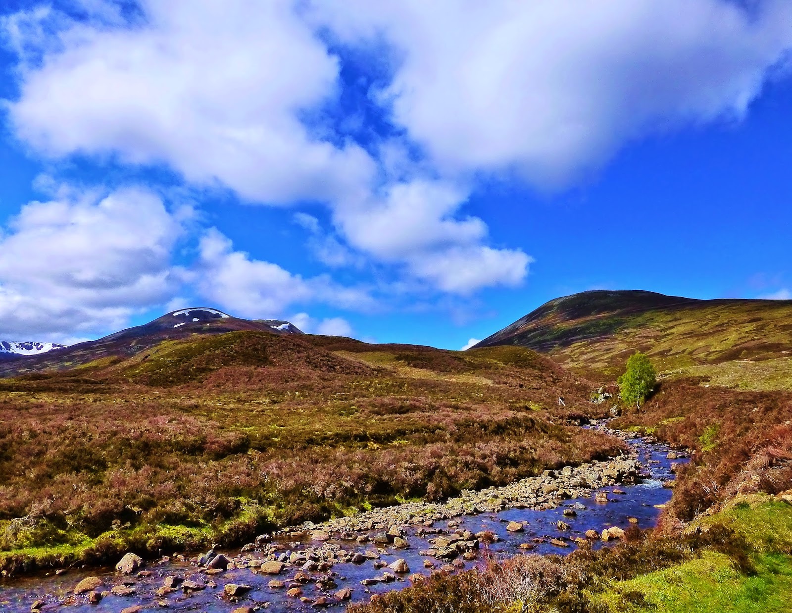
A'Mharconaich and Geal-charn from Balsporran Cottages

On 23rd March we were here in deep snow and high winds...

And on 23rd March, we had a bit of a scare involving Jim's heart, a S&R helicopter from RAF Lossiemouth and the staff of A&E at Raigmore, and CC at Raigmore and Aberdeen Royal Infirmary.

River Truim, north from Balsporran Cottages

Its thanks to all those amazing people (and Fraser MacGillivary) that we were here today, setting off from Balsporran Cottages beside the A9, to complete the very same walk, in, oh, so different conditions...

A'Mharconaich and Geal-charn and Allt Coire Fhar

Jim has made, pretty much, a full recovery from his heart attack, and we've been doing lots of low level walking to help him regain his fitness. He'd just got the go ahead to try something a bit more strenuous.

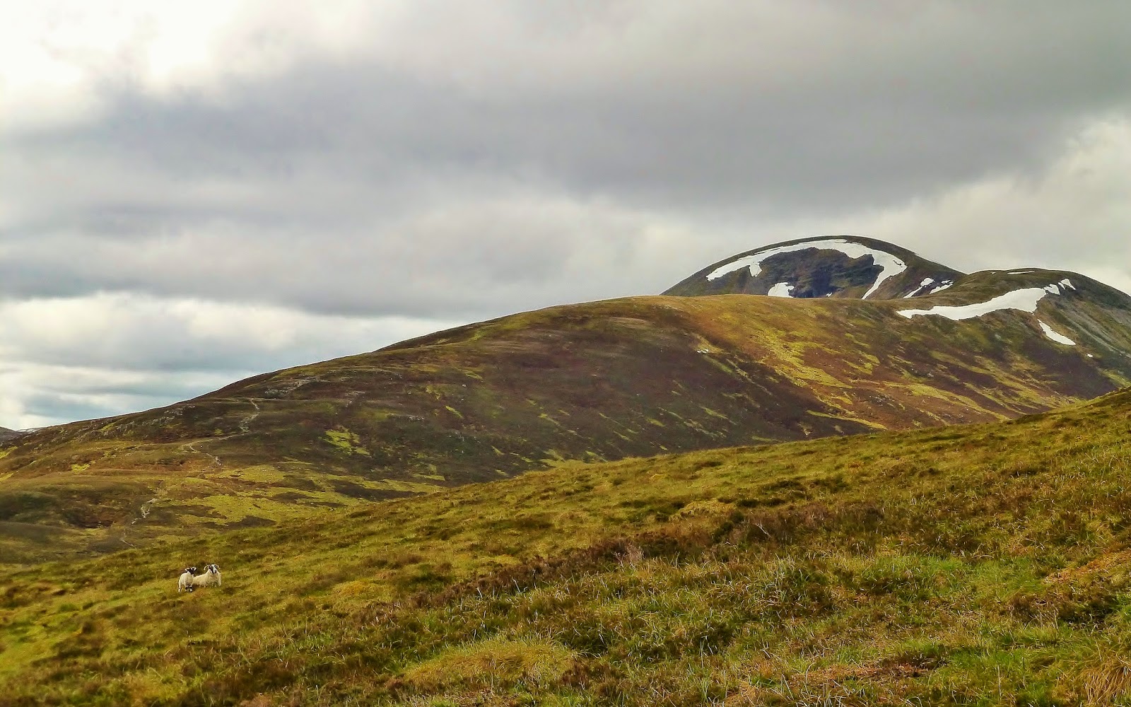
A'Mharconaich from the ascent of Geal-charn

We set off from Balsporran in bright sunshine and in high spirits...

The views already good - back to Meal Chuaich (our last Munro, walked in March) and the Am Monadh Ruadh to the north and east, along with A'Mharconaich to the south, our second Munro objective of the day.

Views east from our ascent of Geal-charn

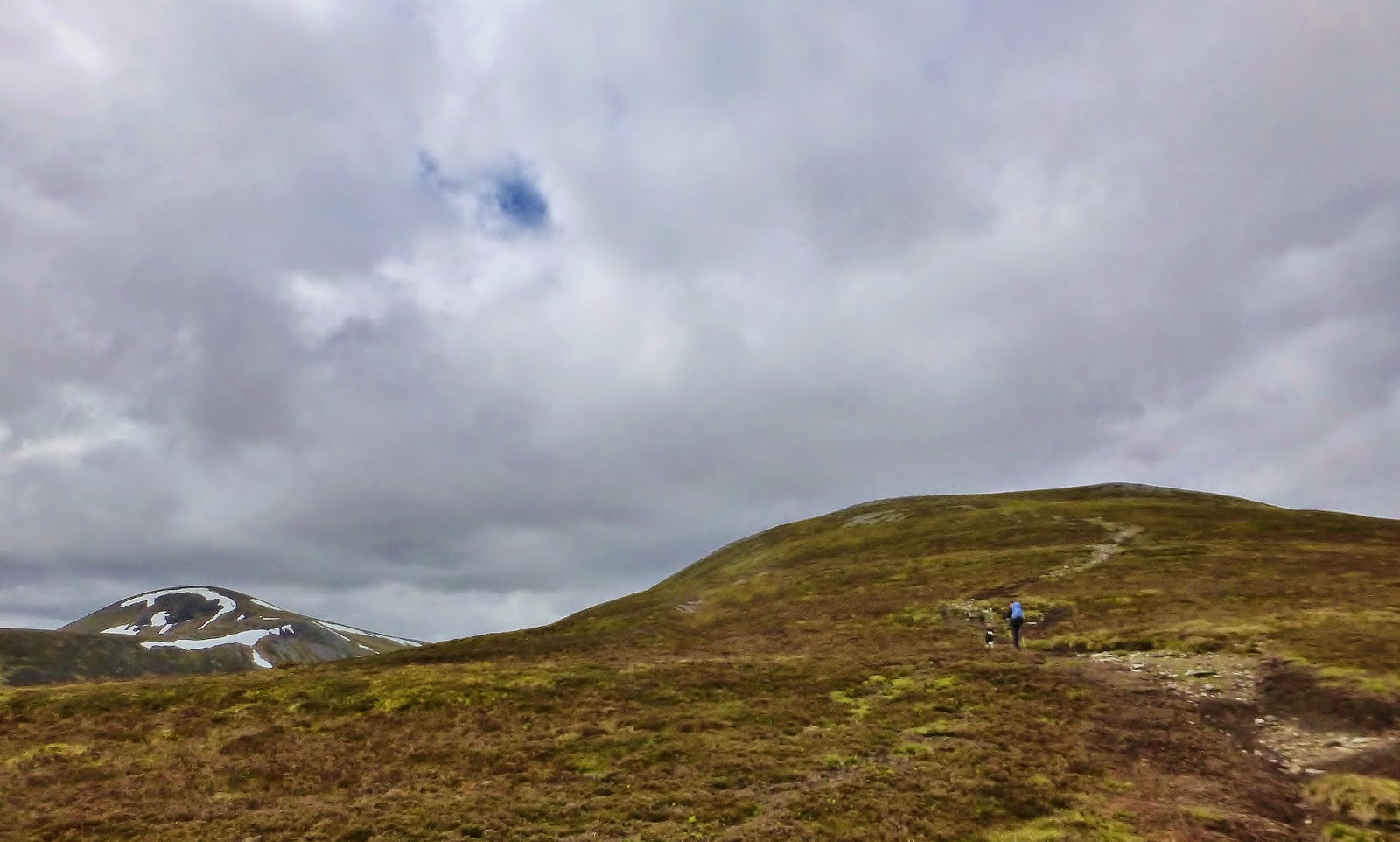
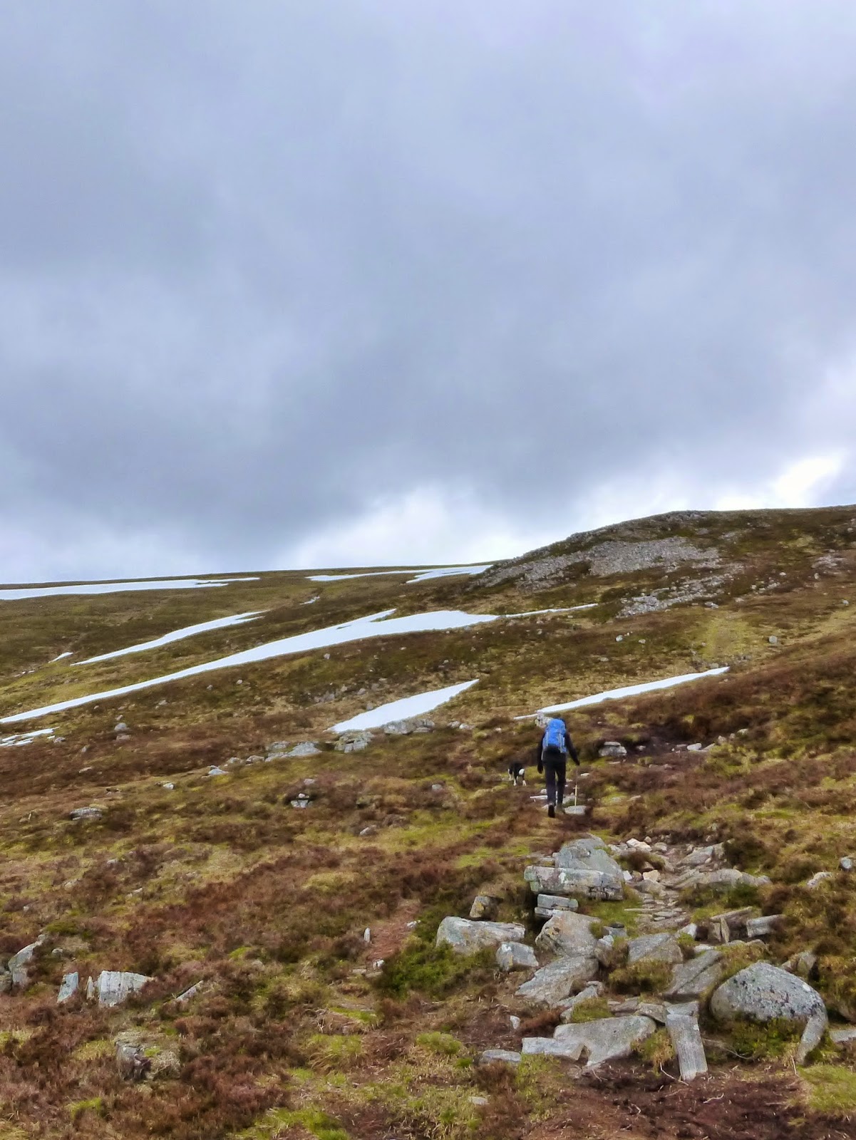
We made good time following the same route we had followed in the snow, this time plodging through some rather soggy peat. This was short lived though, the route dried out as we ascended.

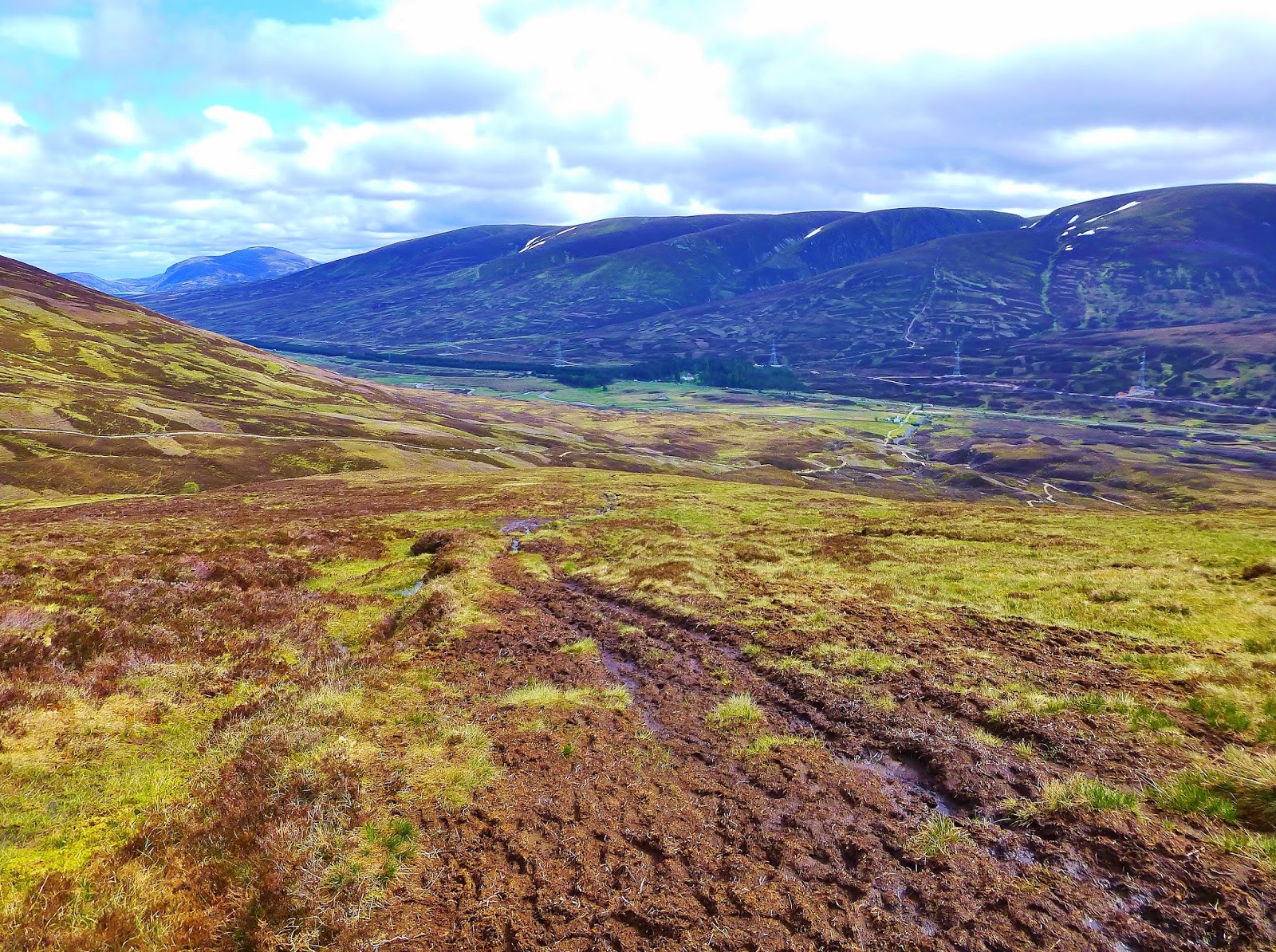
Views south along the A9 from our ascent of Geal-charn

We gained height quickly (a 400m start point always helps with that!) and were soon near the summit plateau of Geal-charn. It was hard to imagine that only a few weeks ago...

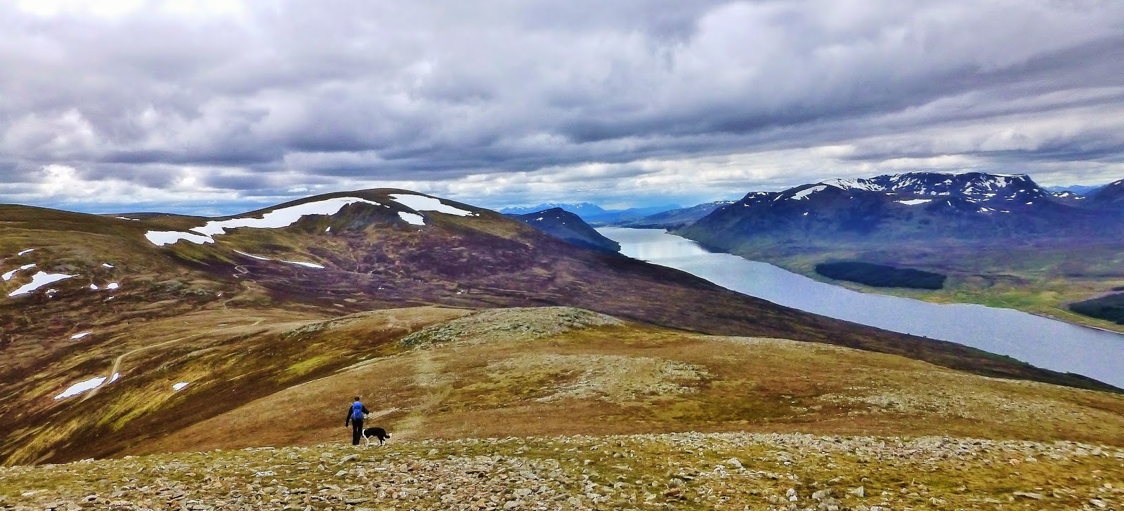
Rafe and Jim - A'Mharconaich and the nearby summit of Geal-charn

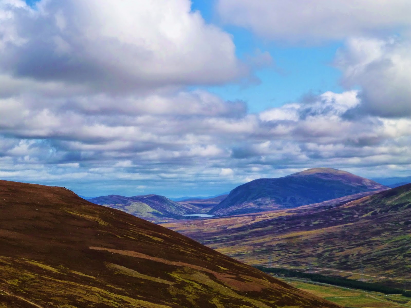
As we neared the summit the views opened up, Loch Ericht and Ben Alder, away to the west and north, with the empty expanse of the Loch Rannoch moors to the south - a wild and lonely place... marvellous.

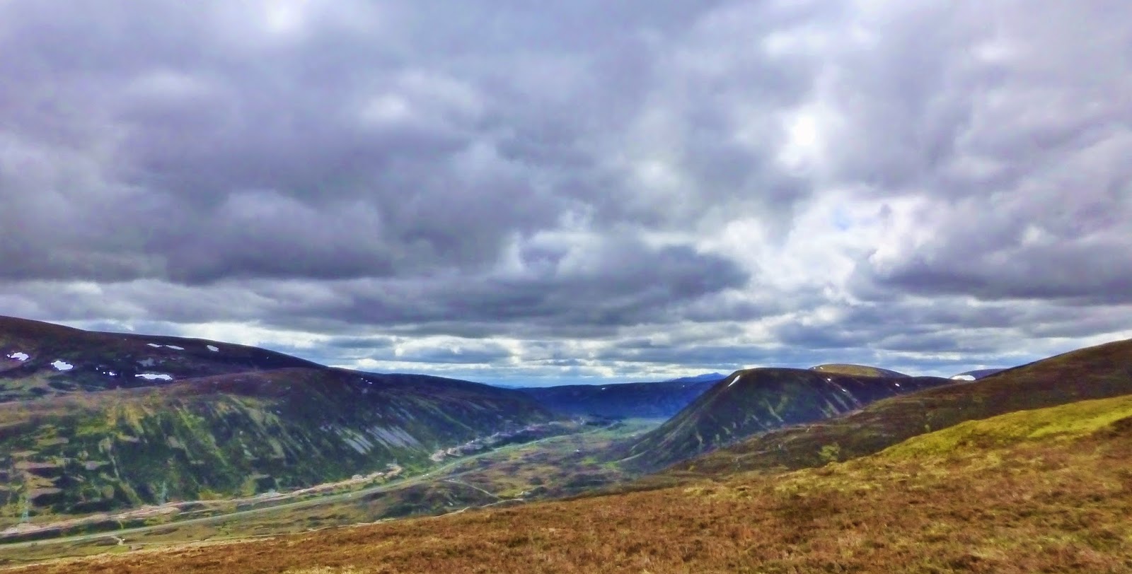
Views north east to Meal Chuaich from Geal-charn

A'Mharconaich from near the summit of Geal-charn

Ben Alder from Geal-charn

Loch Ericht from Geal-charn

The summit of Geal-charn (Munro 279, 917m), was a bleak and windswept spot (I like bleak and windswept) and not a place for lunch, so we descended into the bealach between Geal-charn and A'Mharconaich to find a sheltered spot.

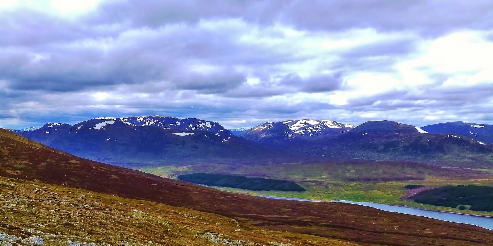
Beinn Udlamain, Loch Ericht and Ben Alder as Jim and Rafe descend from Geal-charn

The paths were good and there was no navigational issues, so we set off towards Munro number two, making good time. The sky had clouded over - moody views...

Jim and Rafe ascend A'Mharconaich

Across Loch Ericht from the ascent of A'Mharconaich

The ascent was fairly gentle and easygoing...

Geal-charn from the ascent of A'Mharconaich

And we strolled across the plateau, feeling blessed.

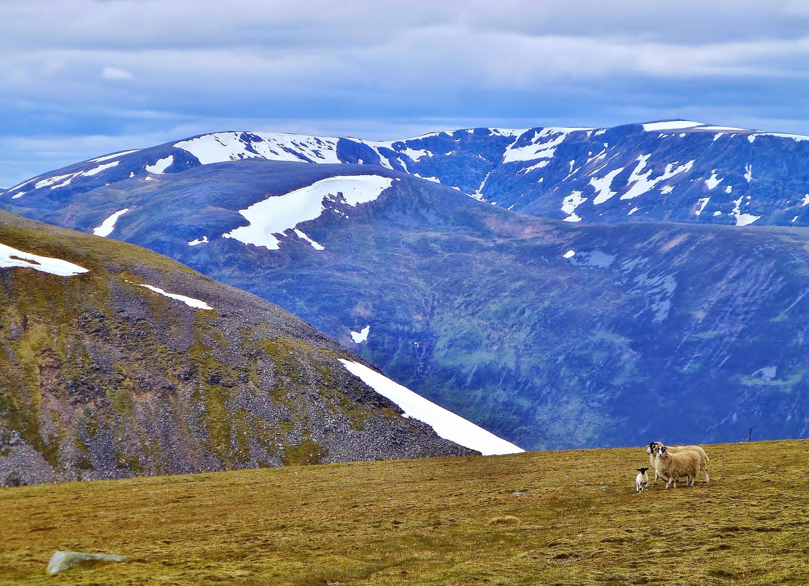
Sheep family - views west from A'Mharconaich

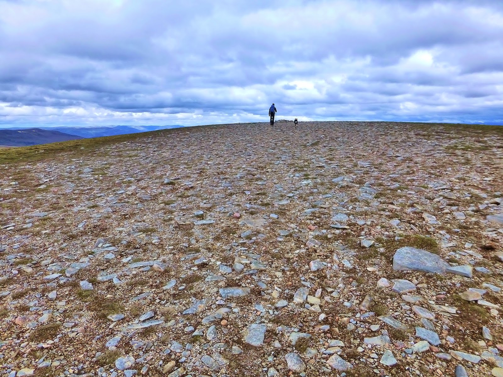
Jim and Rafe near the  summit of A'Mharconaich

Once again, the summit of A'Mharconaich (Munro 175, 975m) was an exposed and chilly place, the wind blowing in from the east over the snow fields below - not a place to hang about today.

Rafe - A'Mharconaich summit (Munro 175, 975m)

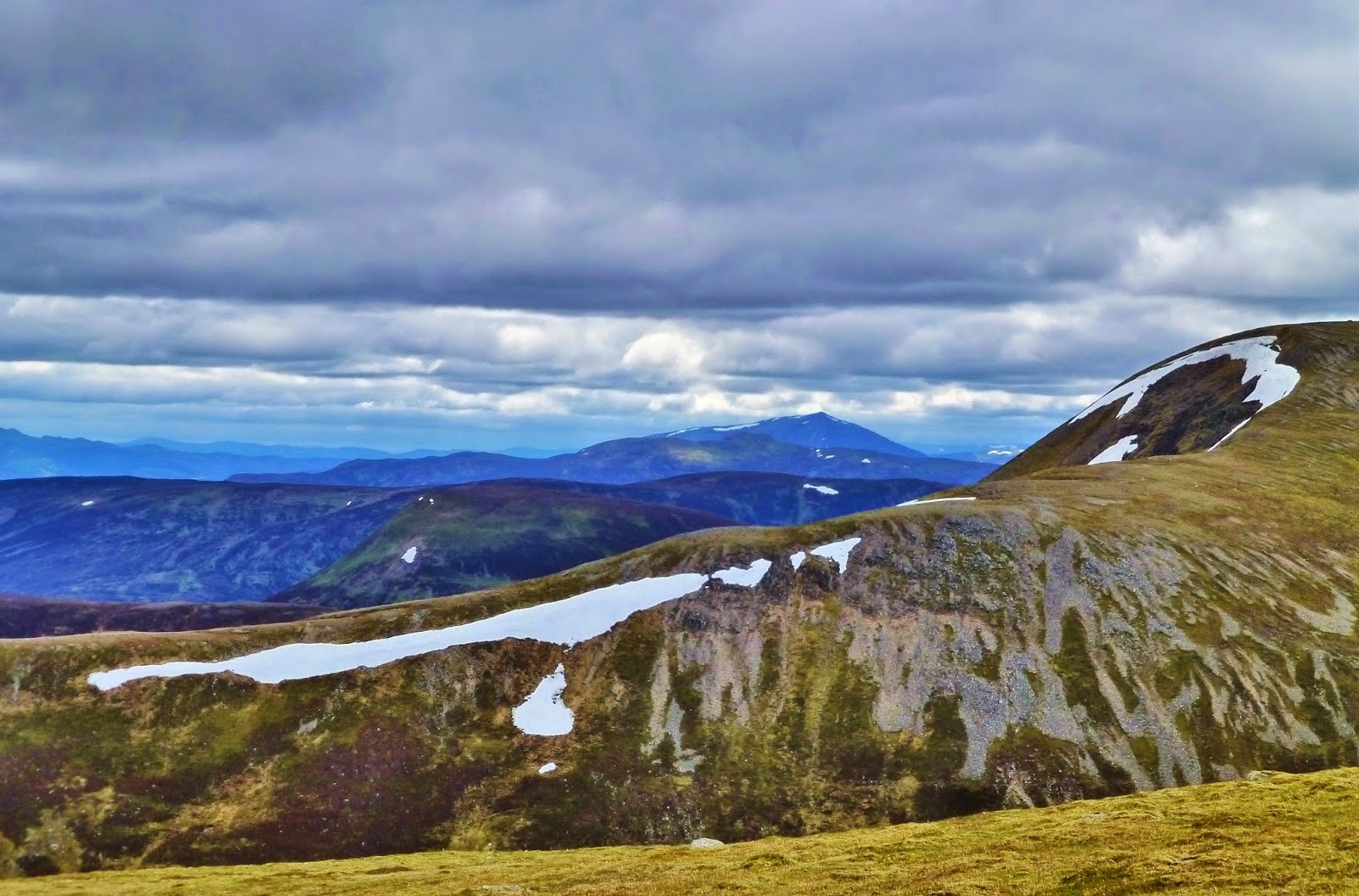
Jim on A'Mharconaich's north east ridge with views to Geal-charn

We set off down A'Mharconaich's north east ridge, stopping to check out the cornices, hanging precariously from the edge (the photo really doesn't do them justice!). Rafe would have liked a closer look, but...

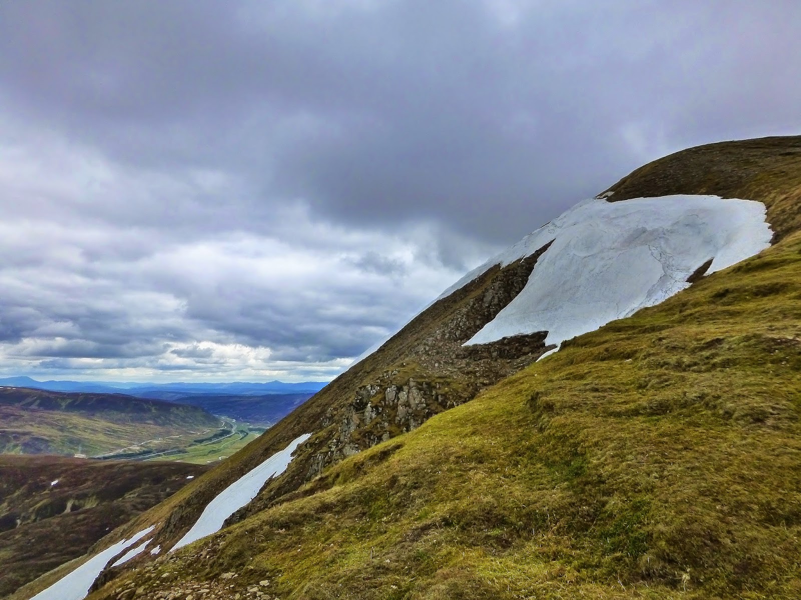
Snow on A'Mharconaich

The guide book had said to take a left off the ridge at an early point, as the ridge gets rather rough further down, but we didn't find this at all. There was a good path (occasionally boggy!) though the heather and myrtle, gently descending, with no issues.

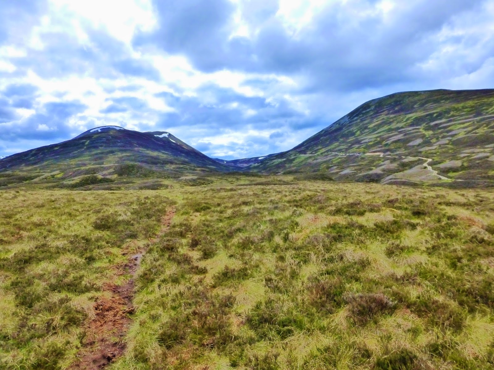
A'Mharconaich and Geal-charn - from the "rough path"

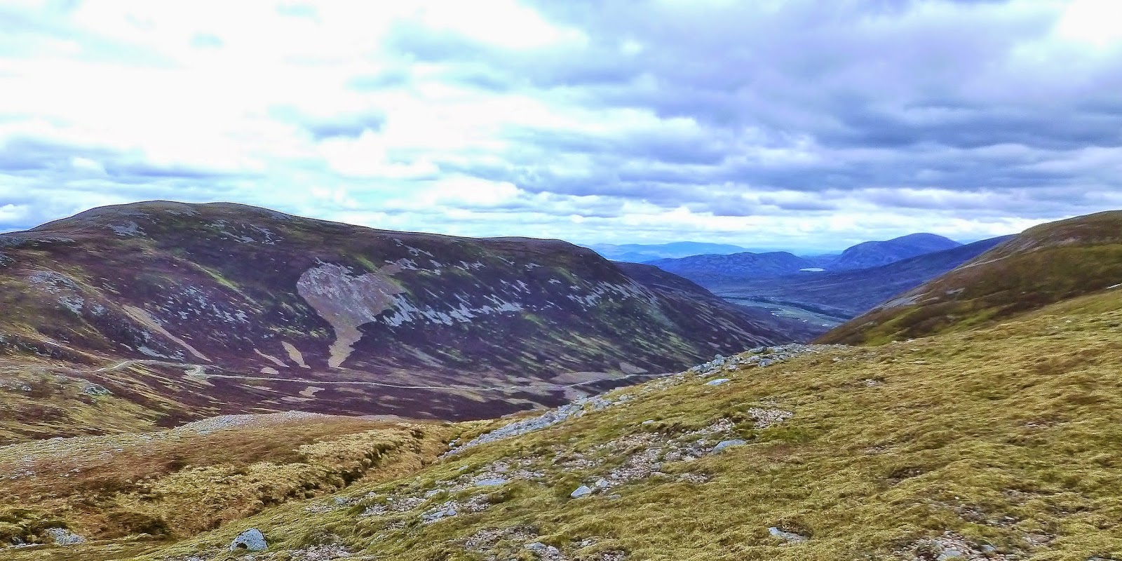
The path brought us to Allt Coire Fhar just west of Balsporran Cottages. There was no bridge over the burn, but it was only a hop, skip and a jump on a few rocks and we were over. If the burn had been in spate, we might have had a problem. I would say, if that was the case, coming off the ridge and crossing the burn higher up the glen would be advisable!

A'Mharconaich and Geal-charn from near Balsporran Cottages

Well, Jim had completed his first hill walk since the heart attack without any problems... Where are we going next week??

Route:  Car park at Balsporran Cottages by A9 (NN627791), W along track, over railway line at crossing, continue W over 2 fords to NN622790, take track to right, NW then W and SW to cairns at NN606785, continue SW to Geal-charn summit (Munro 279, 917m), SW to bealach (SH 739m), path ascending A'Mharconaich W ridge, A'Mharconaich (Munro 179, 975m), descend on NW ridge along good path to just W of Balsporran Cottages (NN626793), cross burn (may be difficult in spate), E to start.

Statistics:  Distance 11.5km  Ascent 750m  Time 4.30hrs

Beinn Bhrotain and Monadh Mor

Setting off from Glen Feshie - it was chilly - before the sun had a chance to peep over the hills...  Off we go! Jim - Setting off near Auch...