 |
| Glen Cannich - Beinn a'Chairein from Muchrachd (NH283334) |
Glen Cannich is a wonderful place at any time of year, but Autumn is just extra special...
 |
| Looking west along Loch Mullardoch from near the dam |
A twenty minute drive from the campsite, along the Glen, took us to the Loch Mullardoch Dam, at the end of the road. The day was a bit grey, with clouds not only misting the summits, but floating about in the glens and cories as well. We were optimistic (as always) that the summit clag would clear...
 |
| Mullach na Maoile and Allt Mullardoch |
We headed off west, initially along the dam road, but very quickly onto a boggy path that leads along the northern shore of Loch Mullardoch. There were several parallel paths above the loch side, none of which seemed to be better used than any other, so keeping west, and with our first summit, Mullach na Maoile at 792m, very obviously ahead, we followed what looked like the driest track.
It wasn't very dry.
 |
| Loch Mullardoch and the dam from the ascent of Mullach na Maoile |
After crossing the Allt Mullardoch over the handy footbridge, we headed off up the south east ridge of Mullach na Maoile. There was no path, just up, through grass and heather - pretty hard going - but steep means getting up there fast and it wasn't long before we made it to the summit.
 |
| South east from the summit plateau of Mullach na Maoile |
The sun was shining and the views were great.
 |
| Rafe on the summit of Mullach na Maoile (761m) Sgurr nan Clachan Geala and Sgurr na Lapaich's south ridge behind |
But the cloud was swirling around the higher hills, only giving us brief glimpses of our next summit, the first Munro of the day - Carn nan Gobhar.
 |
| Views to Carn nan Gobhar from Mullach na Maoile summit |
Every now and again the sun seemed to be winning and there were breaks in the cloud. We were still optimistic for good visibility at the summit.
 |
| Views south east from the ascent of Carn nan Gobhar Creag Feustag, Loch Mullardoch and Mullach na Maoile |
But the swirling cloud certainly didn't detract from the beauty of our surroundings - moody views...
We spied a couple of ptarmigan as we ascended, just starting to get their winter plumage.
 |
| Rafe nears the summit plateau of Carn nan Gobhar |
It was mostly a grassy ascent to Carn nan Gobhar, but towards the summit, it gave way to rocks - and Rafe just loves bounding about on the rocks.
 |
| Looking west from the ascent of Carn nan Gobhar - Sgurr na Lapaich south ridge |
Carn nan Gobhar has two tops, the first, the south top is slightly lower and has a well built cairn...
 |
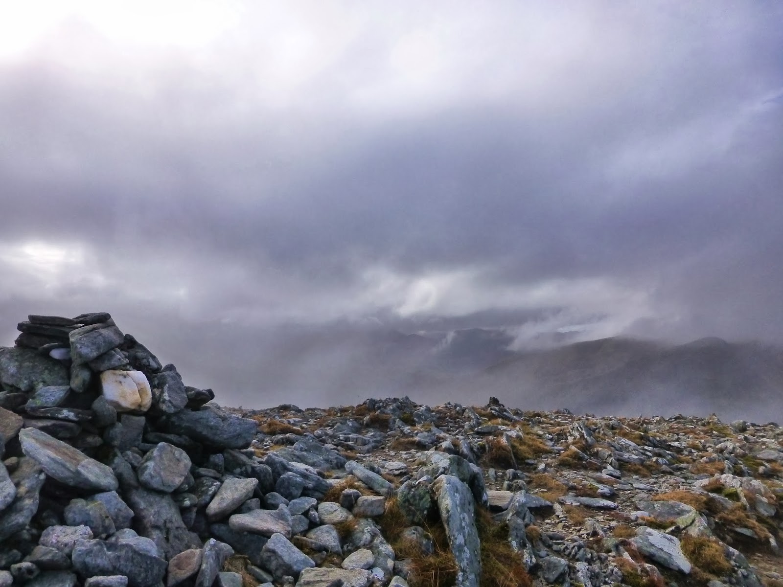
| Carn nan Gobhar South Top, looking west |
A short way beyond this, the summit of Carn nan Gobhar (Munro 152, 993m), doesn't.
 |
| Jim catches a glimpse of the hills to the north from the summit of Carn nan Gobhar (Munro 152, 993m) |
The cloud swirled around, giving us glimpses of the mountains and glens around us - the Loch Monar hills to the north with the Strathfarrar Four to the east of them, along with the Glen Affric hills to the south. Across to the west we couldn't see our next Munro, Sgurr na Lapaich, it was shrouded in deep cloud.
 |
| Sgurr na Lapaich from Carn nan Gobhar - our best view of the day ! |
 |
| South west from the summit of Carn nan Gobhar |
It was a touch chilly, so there wasn't much messing about on the summit. We descended into Bealach na Cloiche Duibhe, through scree and rocks, out of the clouds and back into the sunshine.
 |
| Jim and Rafe - Descent into Bealach na Cloiche Duibhe |
We found a good spot amongst the rocks and out of the wind, for some lunch, with views to the north and east - Glen Stathfarrar.
 |
| Views north into Gleann Innis an Loichel from descent of Carn nan Gobhar |
 |
| Descent into Bealach na Cloiche Duibhe south west to Loch Tuill Bhearnach and Sgurr nan Clachan Geala |
 |
| Rafe - Bealach na Cloiche Duibhe looking west to Sgurr na Lapaich |
The clouds around Sgurr na Lapaich looked menacing and, if anything, getting thicker, lower and blacker...
 |
| Bealach na Cloiche Duibhe - looking east to Carn nan Gobhar |
But we continued west, out of Bealach na Cloiche Duibhe, a gentle start to the 300m of ascent to the summit of Sgurr na Lapaich.
 |
| Bealach na Cloiche Duibhe - looking south to Loch Tuill Bhearnach and Creag a'Chaorainn |
 |
| Rafe and Jim ascend Sgurr na Lapaich |
 |
| Looking east down Glen Strathfarrar from the ascent of Sgurr na Lapaich |
 |
| Loch Tuill Bhearnach and Creag a'Chaorainn from ascent of Sgurr na Lapaich |
The going got a bit steeper as we hit the cloud
 |
| Ascent of Sgurr na Lapaich |
And then a bit rockier - we undertook a little bit of unnecessary scrambling.
 |
| Rafe and Jim - Ascent of Sgurr na Lapaich |
The summit of Sgurr na Lapaich (Munro 24, 1150m) was rocky and fairly pointy. The visibility was about 50m, so we had excellent views of the summit shelter - a good place for a drink and a oatie bar. Highest point this year !
 |
| Jim nears the summit pointy bit - Sgurr na Lapaich (Munro 24, 1150m) |
A quick double check of the compass confirmed our direction off the top. We were travelling south now, back towards Loch Mullardoch. It was a long descent, pretty much pathless. Many walkers pick up two further Munro's beyond (west) of Sgurr na Lapaich (An Riabhachan and An Socach), but we knew we didn't have the daylight for them at this time of year. So we descended via Sgurr na Lapaich's south ridge
We took in Sgurr nan Clachan Geala a Munro Top (28) at 1093m, then over innumerable undulations...
 |
| Mullach na Maoile, Loch Mullardoch and Mullach a'Ghlas-thuill from Sgurr na Lapaich South Ridge |
including Braigh a Choire Bhig and Mullach a Ghlas-thuill - we came out of the clag at about 900m and the views opened up - clear and bright.
As we descended we were treated to the classic autumn display of the Red Deer Rut - Many red deer across the hillsides - roaming and roaring - what a sight.
Then, just when we thought it couldn't get any better, a golden eagle flew overhead, soaring past us from the south and up over Bealach na Cloiche Duibhe.
 |
| Jim descends towards Loch Mullardoch from Mullach a'Ghlas-thuill |
As we dropped into the coire by the Allt Taige we happened across a herd of wild goats having their afternoon tea. Rafe had known they were there for a while !! We were sorry to interrupt them - they made off up the coire and out of sight in no time.
 |
| Rafe - Allt Taige - views north to Creag a'Chaorainn |
We crossed the Allt Taige by the kindly supplied footbridge (apart from Rafe who fancied a drink and a plodge), just as the rain started.
It was pretty much head's down and get on with it, along the four and a half kilometre's of muddy, wet, slippery path back to the dam - we had a brown dog by the time we got back to the car...
 |
| West along Loch Mullardoch from a damp walk out |
Route: Car park at Loch Mullardoch Dam (NH223316), track west along north shore of Loch Mullardoch, after crossing Allt Mullardoch (fb) head NE on open hillside to Mullach na Maoile (761m), Bealach an Tuill Ghaineamhaich, Carn nan Gobhar (Munro 152, 993m), Bealach na Cloiche Duibhe, Sgurr na Lapaich (Munro 24, 1150m), Sgurr nan Clachan Geala (Munro Top 28, 1093m), Braigh a Choire Bhig (964m), Mullach a Ghlas-thuill (792m), desend to Allt Taige (fb), track east along north shore of Loch Mullardoch to start.


