|
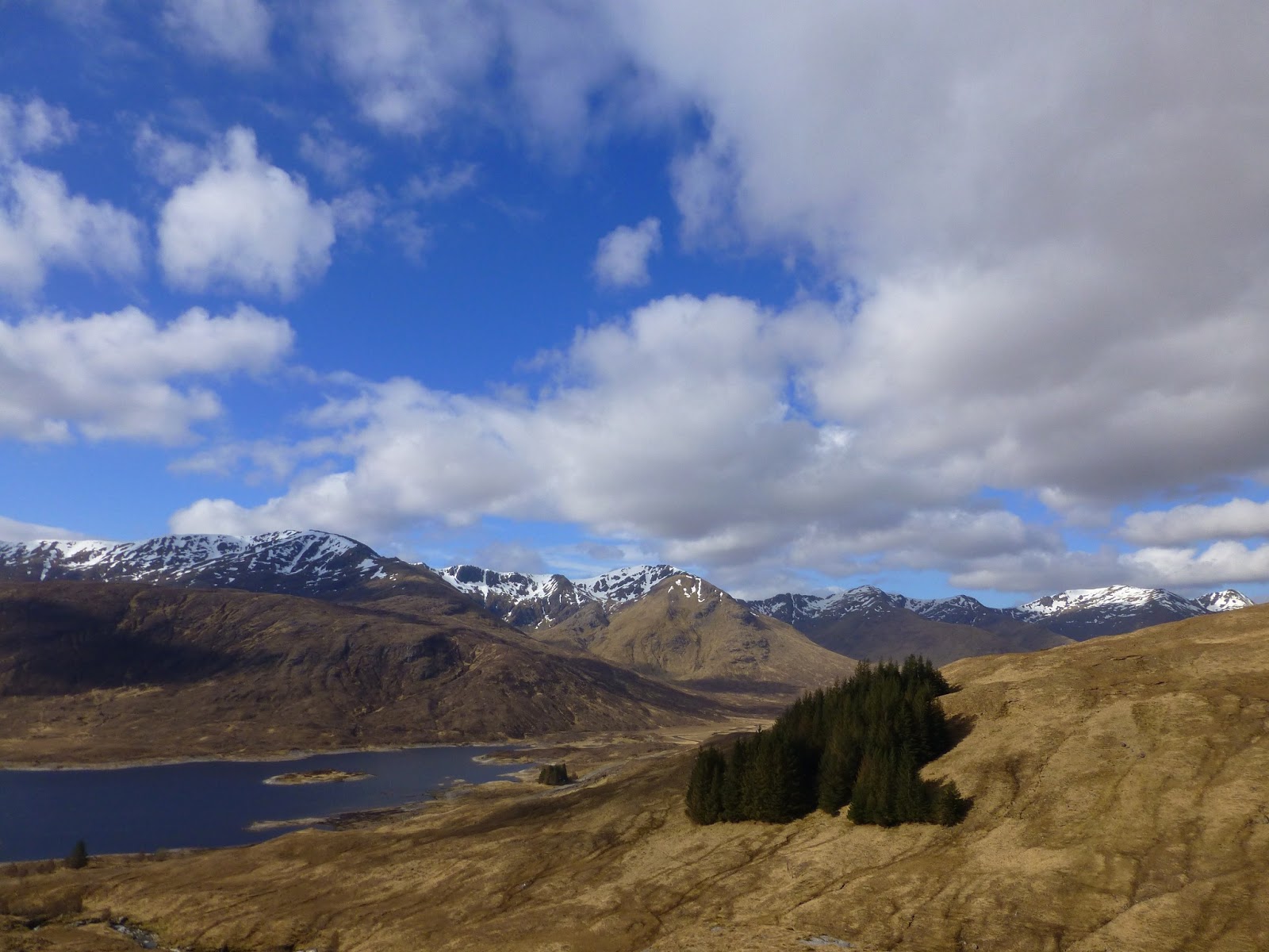
| Loch Cluanie and south Glen Shiel from ascent of A'Chralaig |
We set off from the car at 9am in sunshine, with sharp, clear views across Loch Cluanie, and walked the short distance to An Caorann Mor track. We were watching for any sort of path up the steep grassy slopes of A'Chralaig, but could see no sign (on our return we saw a small cairn and a faint path running through the undergrowth that had been hidden by a parked camper-van in the morning !! - wasn't much of a path anyway),
 |
| Rafe at the start of the ascent above An Caorann Mor |
We followed the main Glen track for about 250 m before striking off east up the open pathless hillside beside where the Allt a'Bhruie cut into the flanks of the hill.
 |
| Allt a'Bhruie, as we ascend A'Chralaig |
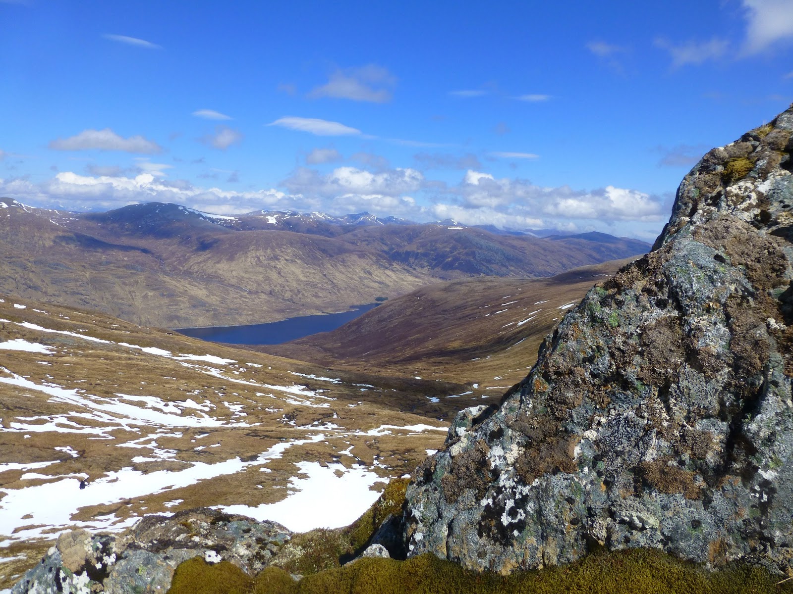
The going was rough, steep and long, the improving views and the waterfalls in the gorge gave us plenty to distract us from the heart pumping ascent. Along with a golden eagle soaring over us, close in the south, spooking a couple of ptarmigan from their feeding.
 |
| Views to Loch Cluanie and beyond from near A'Chralaig |
 |
| Views west from near A'Chralaig summit |
After 800m or so of steep grind we topped out on the summit ridge at about 1050m, just south of the first Munro. A photo fest then took place, the views were tremendous, including a massive cornice hanging from A'Chralaig.
 |
| Views north to A'Chralaig summit |
 |
| Jim ascends A'Chralaig |
 |
| Jim at A'Chralaig summit |
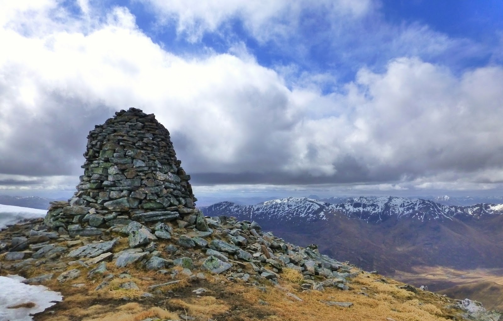
A short walk took us to the summit of A'Chralaig, at 1120m, the highest of the day, the hill meeting glorious blue skies and offering us a view of the rest of the days walk to come to the north, a great ridge, with a surprising amount of snow.
 |
| A'Chralaig summit cairn (1120m) |
 |
| Jim and Rafe on the descent from A'Chralaig - Views to Mullach Fraoch-choire |
 |
| Looking back to A'Chralaig |
We had our first lunch just north of the summit, amongst rocks, out of the rather chilly wind.
 |
| Rafe - a good place for lunch, below A'Chralaig summit |
We continued north along the ridge with cornice hanging from every eastern and northern edge, occasionally spilling right over the ridge, causing consternation on occasion.
 |
| Jim - the walk to Stob Coire na Cralaig |
 |
Rafe and Jim - across the snow to
Stob Coire na Cralaig and Mullach Fraoch-choire |
 |
| Looking back to A'Chralaig from Stob Coire na Cralaig |
We passed over Stob Coire na Cralaig, a Munro Top at 1008m and the views north east to the Na Geurdain ridge caused excitement (Jim) and fear (me) in equal measure.
 |
| Mullach Fraoch-choire and Na Geurdain ridge |
 |
| Rafe - Mullach Fraoch-choire and Na Geurdain ridge |
We passed Coire Odhar Bealach and the ridge narrowed as we neared the pinnacles of Na Geurdain.
 |
| A'Chralaig and Stob Coire na Cralaig |
 |
| Na Geurdain ridge |
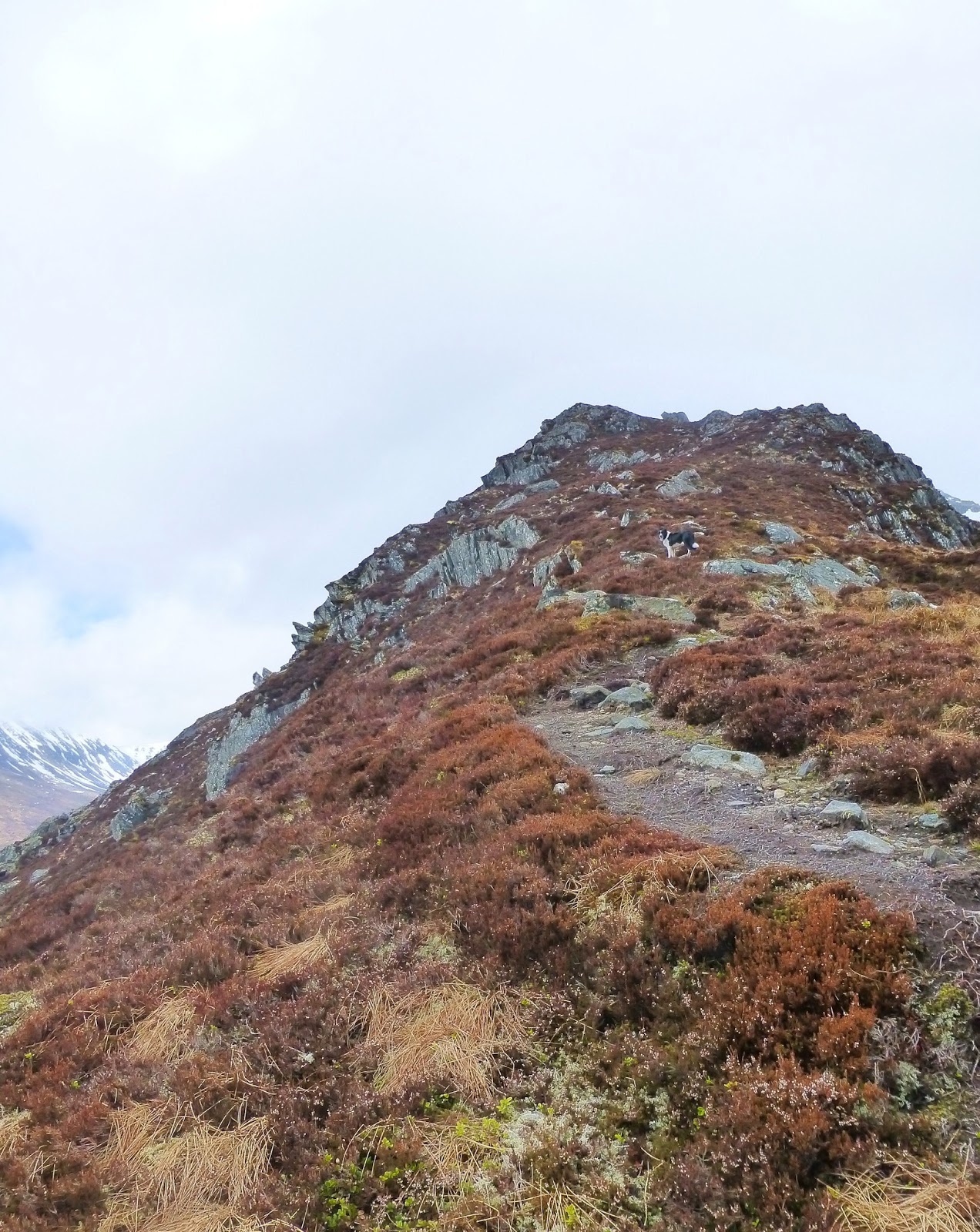
Jim was off up the first pinnacle with Rafe before I even got to the base. We soon saw that Rafe would not be going over the tops and we retired to the "wimps path".
 |
| On Mullach Fraoch-choire |
This proved to be anything but a wimps path, as there was quite a bit of snow and ice to be negotiated or avoided, which meant leaving the path for a touch of hairy scrambling, but we all survived, even our excited dog !
 |
| Mullach Fraoch-choire summit shelter (1102m) |
The summit of Mullach Fraoch-choire at 1102m was the second Munro of the day and had a massive snow drift over the eastern side of the summit plateau, almost covering the rocks of the storm shelter.
 |
| A'Chralaig and Stob Coire na Cralaig from Mullach Fraoch-choire |
It had clouded over and a few flakes of snow were falling as we took our summit photographs and this increased as we made our return through the pinnacles, the rocks appearing less intimidating the second time around.
 |
| A'Chralaig and Stob Coire na Cralaig Na Geurdain ridge |
We met the first other walkers of the day at Bealach Coire Odhar, who asked about the conditions above, before heading off up there themselves. The snow shower had stopped by the time we headed off into Coire Odhar, a short steep scree descent, before a couple of wide and still quite steep snow fields, ice axes out - good fun. Jim pushed his walking pole into the snow right up to the handle without reaching the ground below.
 |
| Jim - Descent into Coire Odhar |
We headed east and then into the south as we descended around the flanks of Stob Coire na Cralaig, through the pathless grass and bog to the rough path along An Caorann Mor. We had a second lunch beside a small waterfall, Rafe playing in the water whilst Jim and I watched a dipper by the burn.
 |
| Rafe plays in the burn, Coire Odhar |
The path eventually improved as we tramped south and our speed increased, past herds of red deer bounding over the river and up the hillside away from the scent of Rafe (we assume). We arrived back at the car just as it started to rain.
 |
| An Caorann Mor, looking north |
Route: Car park on A87 east of Cluanie Inn (NH092121), 250m E along the road, N onto path signposted Glen Affric along An Caorann Mor, 250m, before heading NE onto pathless steep terrain choosing suitable route to ridge (we followed S of Allt a'Bhruie), N along fidge, 1037m spot height, 1051m spot height, A'Chralaig (Munro 33, 1120m), Stob Coire na Cralaig (Munro Top 75, 1008m), Coire Odhar bealach, Na Geurdain ridge, Mullach Fraoch-choire (Munro 49, 1102m), return south to Coire Odhar bealach over ridge, fp NE into Coire Odhar, E then SE on pathless terrain into An Caorann Mor and return to start along rough track and W along road.
 |
| Red deer in An Caorann Mor |
Statistics: Distance: 13km Ascent: 1150m Time: 7hrs 15mins