Tuesday, 3 October 2017

Loch Lubnaig and River Balvag

Loch Lubnaig and An Sidhean

We watched the River Balvag getting higher every day - no wonder, with the amount of rain that has fallen since we arrived at the Immervoulin Campsite - and we gave up thinking that we could drop the canoe straight into the river from our pitch. The water rushed passed in turbulent spate - we might be able to guide the canoe down to Loch Lubnaig, but wouldn't be able to paddle back.

Loch Lubnaig and Ben Ledi

So we strapped the boat onto the roof of the car, drove south for a couple of miles and launched onto Loch Lubnaig from the shore beside the A84.

Loch Lubnaig flood plain and reed beds

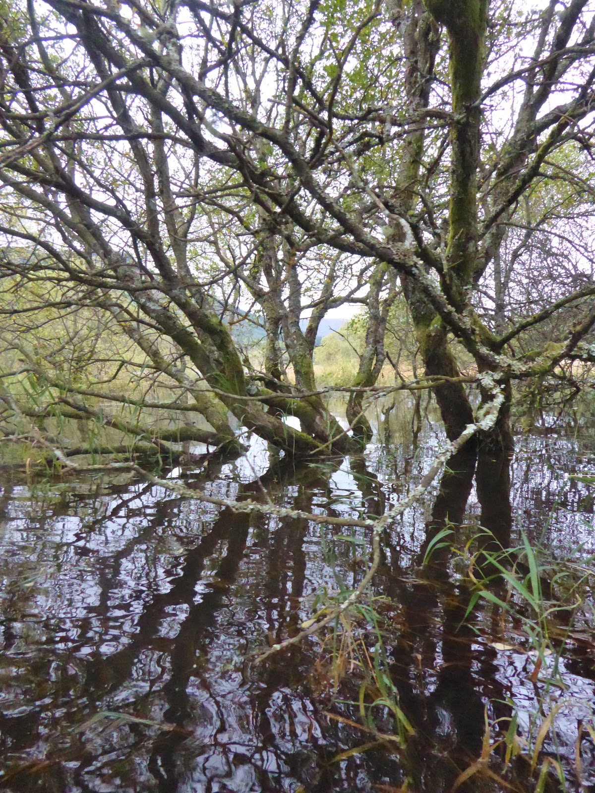
We paddled north, exploring the flooded shoreline, the burns feeding the loch and amongst the reeds across the flooded plain.

Loch Lubnaig flood plain and reed beds

Loch Lubnaig - views south

Loch Lubnaig - views south to Ben Ledi

Loch Lubnaig - views north

We paddled around the Roinn Mhor and to the mouth of the River Balvag - we'd explore until the current got too strong for us...

River Balvag and An Sidhean

It doesn't look like it its flowing so fast in the pictures - but it was seriously hard work!

Immervoulin Campsite from River Balvag

We did manage to get upstream as far as the campsite - before being swept downstream to the loch again

River Balvag

River Balvag - south towards Ben Ledi

Loch Lubnaig and An Sidhean

There's a little lochan - Lochan Buidhe - just to the north of Loch Lubnaig. The water water was so high that we could paddle through the woods and into this new lochan - great fun!

Woods between Loch Lubnaig and Lochan Buidhe

Between Loch Lubnaig and Lochan Buidhe

Looking north across Lochan Buidhe

We paddled around the lochan, across some fields and over a fence...

Lochan Buidhe and An Sidhean

On Lochan Buidhe

Lochan Buidhe

...before making our way back through the woods and to Loch Lubnaig.

Between Lochan Buidhe and Loch Lubnaig

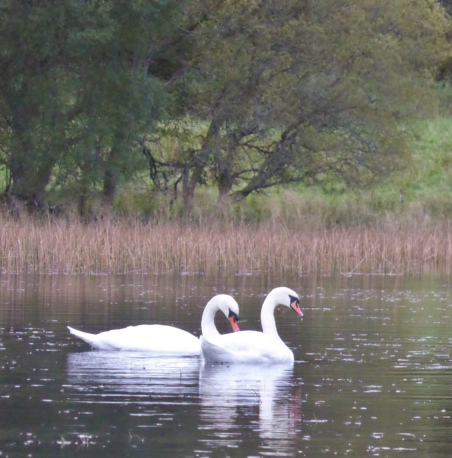
It was starting to get dark. Time to head back across the water to the car - but not before we had a close encounter with two very lovely fellow paddlers.

And there's plenty more of Loch Lubnaig to explore another day.

Mute swans on Loch Lubnaig

Sunday, 24 September 2017

Roseberry Topping - back again

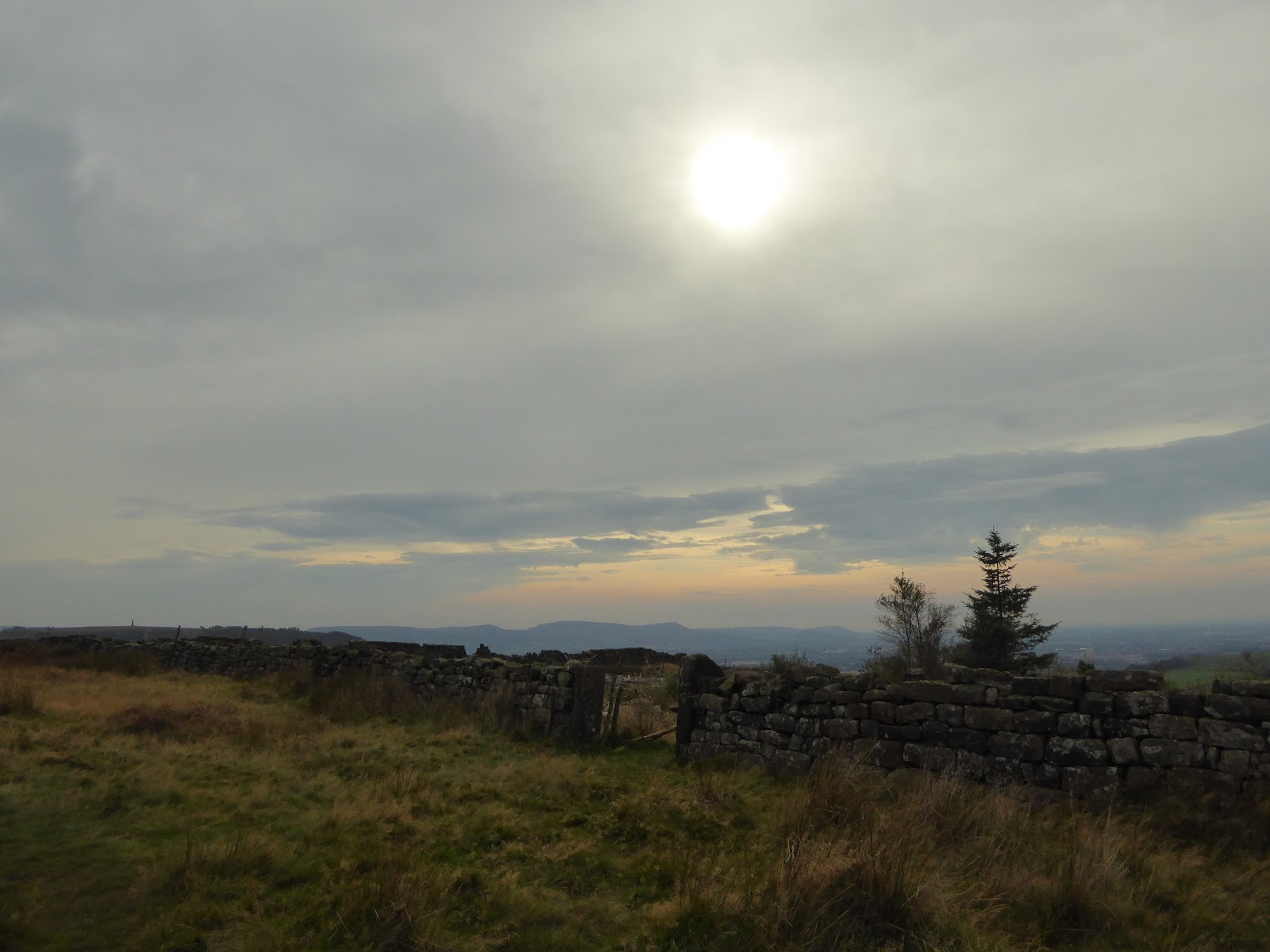
South over Cleveland Escarpment towards Captain Cooks Monument from Great Ayton Moor

We haven't had a wander up Roseberry Topping since we moved up to Scotland - it used to be a regular leg stretcher when we lived down in these parts.

Rafe was due an afternoon walk, and Roseberry Topping stands out on the northern edge of the North York Moors, just asking to be climbed.

We parked up at the Forestry Commission car park on Dikes Lane above Great Ayton and ate our picnic, watching the chaffinches scratting for a few crumbs - we didn't mess about though, Rafie was giving us the stare!

There were quite a few people about, making the most of Sunday afternoon and the late summer brightness. We set off (north) along the Cleveland Way, between groups of dog walkers, families and (very obviously) more serious walkers - with lots of "Afternoon"s and "Now then"s.

Roseberry Topping from the Cleveland Way on Great Ayton Moor

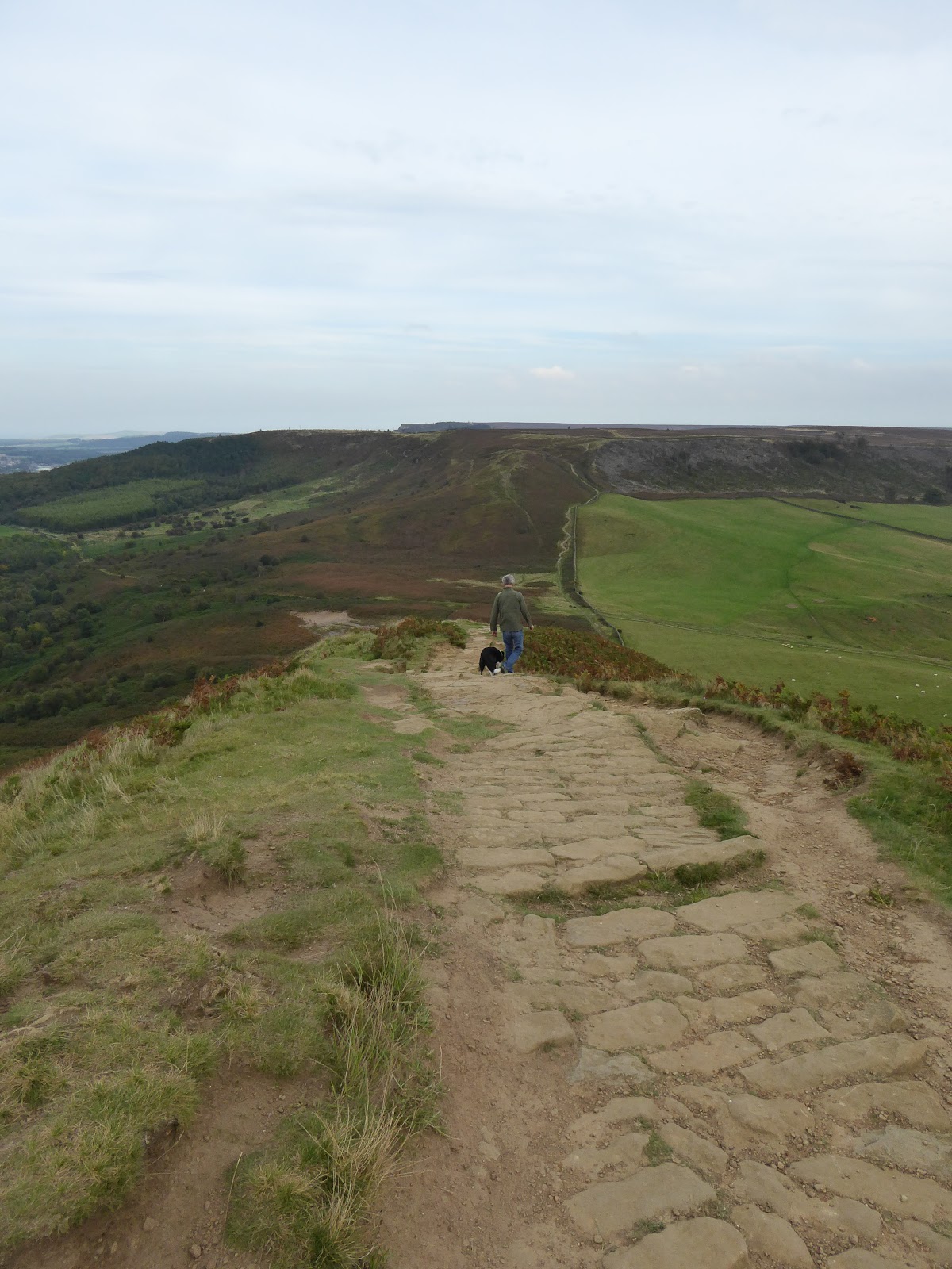
Once up the initial pull up from the valley was behind us, the walk was a gentle stroll along the excellent Cleveland Way path- with hazy views across the moors and down towards the conurbation of Middlesborough

Roseberry Topping from the Cleveland Way

It was warm enough to be out and about without a coat and it was lovely to be back in this well known area - good memories.

Rafe and Jim - descending from Newton Moor towards Roseberry Common and Roseberry Topping

The path was obvious, take a left at the path junction at Newton Moor (with Roseberry Topping straight in front), a gentle descent into Roseberry Common and then a short, sharp pull up the Topping.

Roseberry Topping from Roseberry Common

The views from this pointy little hill are always surprising. Its amazing how far you can see, even on a hazy day.

West towards Middlesborough from Roseberry Topping

East from Roseberry Topping

Roseberry Topping summit trig point (320m)

Rafe and Jim - descent from Roseberry Topping

We didn't linger long on the summit - it was very busy - all those dog walkers and families seemed to have chosen the summit for a picnic. I did my very best to make it look like we had the hill to ourselves in the photos (and it seems I was fairly successful!), before we took ourselves off to saunter back the way we had come.

West from Roseberry Common

South towards Captain Cooks Monument from Newton Moor

I've missed Roseberry Topping...

Returning along the Cleveland Way (Great Ayton Moor)

Route:  Forestry Commission car park on Dikes Lane, near Great Ayton (NZ591109), N along route of the Cleveland Way to track junction (NZ587127), descend W over Roseberry Common and ascend to Roseberry Topping summit (320m), all on good footpaths. Return to start by reversing route.

Statistics:  Distance: 6.5km  Ascent: 340m  Time: 2 hours

Map:  OS Explorer OL26 North York Moors Western Area

Tuesday, 13 June 2017

Waterfalls on Allt Coire nam Beithach, Glen Coe

Allt Coire nam Beithach from A82 west of Loch Achtriochtan
 
We've driven through Glen Coe countless times, the spectacular scenery never fails to impress...

Glen Coe, Loch Achtriochtan and River Coe - views east
 
Although we've climbed quite a few of the local Munro's and walked some of the low level paths, we've often pointed out the roaring falls, high up on the Allt Coire nam Beithach, taking water off the Bidean nam Bian massif - and said "we must go up there sometime!"

Aonach Dubh and Allt Coire nam Beithach

After several days of rain, it seemed like today would be a good day.

Waterfalls below Aonach Dubh

It was still raining when we set off from the car park by the little bridge to Achnambeithach - but we didn't take the bridge to the house, we crossed the River Coe on the road (A82) and took the boggy path up the west side of the Allt Coire nam Beithach. Waterproofed up, we squelched along.

Loch Achriochtan and Aonach Eagach
in the cloud from ascent into Coire nam Beithach
 
We were pleased to find that the path improved greatly very soon - an excellent pitched path buoyed us up for most of the way.

Waterfalls on Allt Coire nam Beithach

A golden eagle soared over the glen, giving us a great excuse to stop and stare for a few minutes. Gliding above us, resting on the breeze, he eventually took himself off to the north, over the Aonoch Eagach.

It was at that point that we noticed that it had stopped raining - there were even glimpses of brightness. Is that the sun?

Rafe and Jim - Allt Coire nam Beithach

There was a short scambly bit where the path disappeared into a minor crag and a couple of side burns, but it soon reappeared on the other side.

Waterfalls on Allt Coire nam Beithach

The falls were impressive - we got wet!

Jim - waterfalls on Allt Coire nam Beithach
 
Looking back (north) towards Sgorr nam Fiannaidh and Aonach Eagach
 
Waterfalls on Allt Coire nam Beithach
 
Looking north east towards Loch Leven
 
Aonach Eagach above Loch Achtriochtan
 
Allt Coire nam Beithach and Loch Triochtan

We continued along the burn, taking in further falls and rapids - until the ascent started to relent and we could see into Coire nam Beithach - a magnificently secluded glen, surrounded by Bidean's battlements.

Allt Coire nam Beithach towards the threshold of the Coire

But we weren't really equipped to go any further - time to head back and to save the coire for another day.

Stob Coire nan Lochan and Allt Coire nam Beithach

After a bit of an explore, and the taking of many photographs, we headed down, back the way we had come...

Stob Coire nan Lochan and Allt Coire nam Beithach

The views, the hills and the waterfalls were just as outstanding as we descended - the cloud swirling around the tops.

Aonach Eagach from Coire nam Beithach

Waterfalls on Allt Coire nam Beithach

A great short walk - go there...

Allt Coire nam Beithach from our descent back into Glen Coe

Cloud comes in again over Aonach Eagach

And the rain started again as we got back in the car.

Allt Coire nam Beithach

Route:  Car park in Glen Coe (NN138567), on S side of A82 just oppisite Clachaig Inn turnoff), cross River Coe on roadbridge and turn S through gate following W bank of Allt Coire nam Beithach to waterfalls and into Coire nam Beithach, return to start.

Statistics:  Distance: 2.5km  Ascent: 300m  Time: 2 hours

Map:  OS Explorer 384 Glen Coe & Glen Etive

Beinn Bhrotain and Monadh Mor

Setting off from Glen Feshie - it was chilly - before the sun had a chance to peep over the hills...  Off we go! Jim - Setting off near Auch...