 |
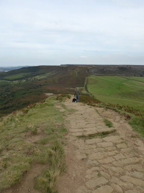
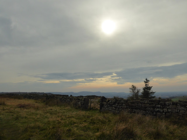
| South over Cleveland Escarpment towards Captain Cooks Monument from Great Ayton Moor |
We haven't had a wander up Roseberry Topping since we moved up to Scotland - it used to be a regular leg stretcher when we lived down in these parts.
Rafe was due an afternoon walk, and Roseberry Topping stands out on the northern edge of the North York Moors, just asking to be climbed.
We parked up at the Forestry Commission car park on Dikes Lane above Great Ayton and ate our picnic, watching the chaffinches scratting for a few crumbs - we didn't mess about though, Rafie was giving us the stare!
There were quite a few people about, making the most of Sunday afternoon and the late summer brightness. We set off (north) along the Cleveland Way, between groups of dog walkers, families and (very obviously) more serious walkers - with lots of "Afternoon"s and "Now then"s.
 |
| Roseberry Topping from the Cleveland Way on Great Ayton Moor |
Once up the initial pull up from the valley was behind us, the walk was a gentle stroll along the excellent Cleveland Way path- with hazy views across the moors and down towards the conurbation of Middlesborough
 |
| Roseberry Topping from the Cleveland Way |
It was warm enough to be out and about without a coat and it was lovely to be back in this well known area - good memories.
 |
| Rafe and Jim - descending from Newton Moor towards Roseberry Common and Roseberry Topping |
The path was obvious, take a left at the path junction at Newton Moor (with Roseberry Topping straight in front), a gentle descent into Roseberry Common and then a short, sharp pull up the Topping.
 |
| Roseberry Topping from Roseberry Common |
The views from this pointy little hill are always surprising. Its amazing how far you can see, even on a hazy day.
 |
| West towards Middlesborough from Roseberry Topping |
 |
| East from Roseberry Topping |
 |
| Roseberry Topping summit trig point (320m) |
 |
| Rafe and Jim - descent from Roseberry Topping |
We didn't linger long on the summit - it was very busy - all those dog walkers and families seemed to have chosen the summit for a picnic. I did my very best to make it look like we had the hill to ourselves in the photos (and it seems I was fairly successful!), before we took ourselves off to saunter back the way we had come.
 |
| West from Roseberry Common |
 |
| South towards Captain Cooks Monument from Newton Moor |
I've missed Roseberry Topping...
 |
| Returning along the Cleveland Way (Great Ayton Moor) |
Route: Forestry Commission car park on Dikes Lane, near Great Ayton (NZ591109), N along route of the Cleveland Way to track junction (NZ587127), descend W over Roseberry Common and ascend to Roseberry Topping summit (320m), all on good footpaths. Return to start by reversing route.
Statistics: Distance: 6.5km Ascent: 340m Time: 2 hours
Map: OS Explorer OL26 North York Moors Western Area


No comments:
Post a Comment