|
| Cross Dormont Farm campsite |
We had an early start from
Cross Dormont campsite, breakfasted and packed up before 8am - and off we went - Rafe and I with kit for a few days scavaiging around Ullswater.
 |
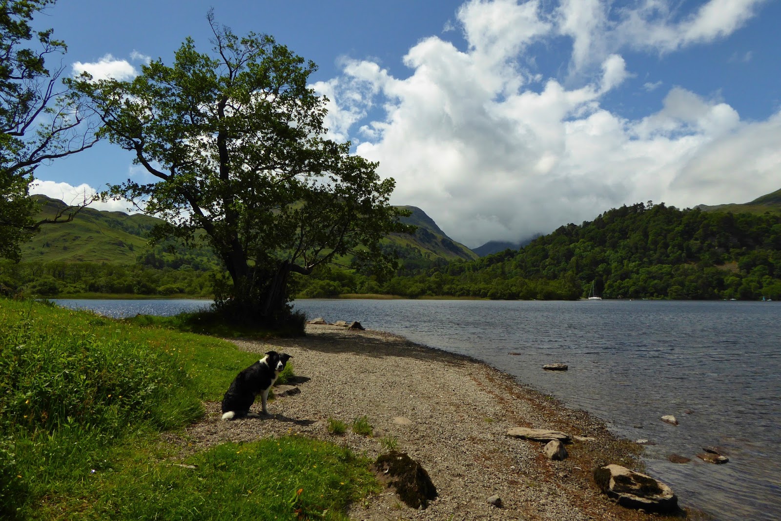
| Ullswater from Cross Dormont Farm |
 |
| Llama - Cross Dormont Farm |
We wound our way along the footpaths and around the farms onto the bridleway below Auterstone Crag, taking the track north east, a gentle ascent onto the escarpment above the eastern shore of Ullswater.
 |
| Setting off from Cross Dormont Farm |
 |
| Meadows above Ullswater |
We took a sharp right onto the route of the Roman Road (NY481223), enjoying the sunshine and the glorious views...
 |
| South west over Ullswater from ascent of White Knott |
 |
| White Knott (422m) - views south west over Ullswater |
We had plenty of time - we stopped when we felt like it, we wandered as we pleased - the joys of solo backpacking.
 |
| Above Long Crag and Ullswater |
We'd forgotten how lovely the Lake District is...
 |
| Rafe - Barton Fell, above Ullswater |
 |
| Arthurs Pike (533m) |
 |
| Bog Cotton - Barton Fell |
 |
| Views south over Martindale from Barton Fell |
 |
| Rafe - Bonscale Pike - views over Ullswater |
 |
| Stone circle, near Brock Crag (NY457191) |
 |
| Rafe - Ascent of Loadpot Hill |
 |
| Rafe - Ascent of Loadpot Hill |
 |
| Loadpot Hill summit (672m) |
 |
| Post and cairn, Loadpot Hill (NY459183) |
 |
| Descent from Loadpot Hill - views south |
 |
| Tarn - bealach between Loadpot Hill and Wether Hill |
 |
| Views west from Wether Hill |
We had leisurely lunch on the summit of Raven Howe, tucked behind a wall out of a cool breeze - before continuing along the route of the old Roman road over High Street.
 |
| Rafe - High Raise (802m) |
 |
| Views south west from near High Raise |
 |
| Looking back (north) to High Raise |
 |
| Rafe - Rampsgill Head summit (792m) |
 |
| Riggindale and Haweswater from Rampsgill Head |
 |
| Views back (north) from ascent of High Street |
 |
| Rafe - High Street summit (828m) |
 |
| High Street summit |
 |
| Near High Street summit |
 |
| High Street with views to Kentmere Horeshoe and Windermere |
We continued on, to Thornthwaite Crag - before dropping off the tops into Threshthwaite Cove and Pasture Bottom.
 |
| Thornthwaite Beacon |
 |
| Rafe - Views north west from Thresthwaite Mouth into Pasture Bottom to Ullswater |
 |
| Rafe - descent into Pasture Bottom |
 |
| Looking back to Threshthwaite Mouth |
 |
| Pasture Bottom |
 |
| Looking back along Pasture Bottom to Threshthwaite Mouth |
By the time we reached Hartsop we were both a little footsore - but we still had a few kilometres to go...
 |
| Hartsop Village |
 |
| The track from Hartsop to Patterdale - views of Place Fell |
Along the lovely bridleways of Patterdale...
 |
| Roe deer near Crookabeck |
Before arriving at the campsite at
Side Farm, at the southern end of Ullswater.
The campsite was busy - a Saturday night in June in the Lake District! But we soon found a spot for the tent, among the trees and get set up for the night.
Both of us were ready for our dinner and a bit of a chill.
 |
| Meadow by Side Farm campsite - views south |
Route: Cross Dormont Campsite (NY461226), fp SW to Seat Farm, continue SW to Crook-a-dyke, at NY458218 take fp S across Sharrow Mire to bridleway at NY460214, turn NE. At NY472220 turn SW onto fp, White Knott (422m), Whinney Crag, Arthurs Pike (Wainwright, 533m), fp south to NY461198, E then N across open hillside to Bonscale Pike (Wainwright 524m), S on fp at Loadpot Hill (Wainwright, 672m), S on bridleway to Wether Hill (Wainwright, 674m), S to Red Crag (Birkett, 711m), Raven Howe (718m), High Raise (Wainwright, 802m), Rampsgill Head (Wainwright, 792m), High Street (Wainwright, 828m), SW to Thornthwite Crag (Wainwright, 784m), descend W on fp to Threshthwaite Mouth, NW to Threshthwaite Cove and Pasture Bottom, continue NW to Hartsop over fb at NY411129, continue W through village and take bridleway N at NY405133, 250m N of Dubhow (NY405145) take left fp N along valley, continue N to Side Farm Campsite (NY398163).
Statistics: Distance: 27.6km Ascent: 1260m Time: 11 hours